

All Locations: Death Stranding Guide
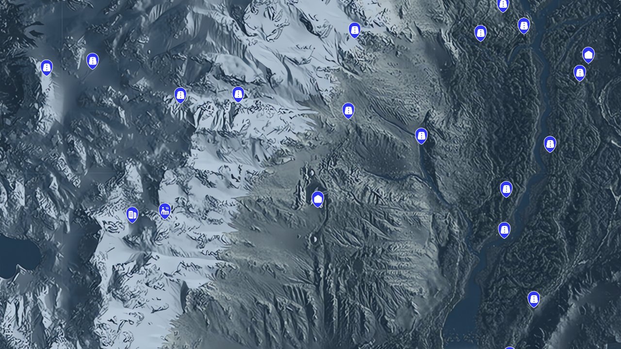
Locations in Death Stranding represent the critical infrastructure and points of interest that define Sam’s journey across the fractured United States. These markers encompass everything from essential facilities and shelters to unique geographical features that provide strategic advantages during deliveries. The Death Stranding Interactive Map filters these locations to help you plan efficient routes between destinations, identify safe zones for rest and equipment maintenance, and discover hidden areas that contain valuable resources or story elements. Understanding where these locations sit in relation to your delivery routes can mean the difference between a successful mission and a grueling trek through hostile territory.

What Locations Are Used For
Locations serve as the backbone of Death Stranding’s interconnected world, providing essential services and strategic waypoints for Porter operations. These sites determine your ability to traverse the dangerous landscape safely and efficiently.
- Access to fabrication terminals for crafting equipment and structures
- Safe havens for rest, equipment repair, and cargo storage
- Fast-travel points that reduce journey times between distant areas
- Resource gathering spots for rare materials and recovery items
- Story progression gates that unlock new areas and missions
Locations Types
The map categorizes locations into five distinct types, each serving different functions in your Porter operations and world exploration.
Auto-Paver
These automated construction devices create paved roads when supplied with materials, dramatically improving vehicle travel speed and cargo protection. Auto-Pavers represent some of the most valuable infrastructure investments you can make, connecting distant facilities with smooth highways that resist timefall damage.Hot Spring
Natural geothermal pools that restore Sam’s stamina and reduce stress levels accumulated during difficult journeys. Hot Springs provide crucial recovery points in remote areas where shelter access is limited, making them essential waypoints for long-distance deliveries through challenging terrain.Point of Interest
Notable landmarks and unique locations that often contain memory chips, rare resources, or environmental storytelling elements. These sites frequently reward exploration with valuable materials or lore that deepens your understanding of the post-apocalyptic world.Prepper Shelter
Independent survivor bunkers that offer delivery services, equipment access, and safe harbor from BT encounters. Connecting these shelters to the UCA network unlocks new delivery contracts and expands your operational range across previously inaccessible regions.UCA Facility
Official United Cities of America installations that serve as major hubs for story missions, advanced equipment, and network expansion. These facilities represent the primary nodes in rebuilding America’s infrastructure and typically offer the most comprehensive services and storage options.How to Use the Map Efficiently
Strategic location planning reduces travel time and increases delivery success rates by identifying optimal rest stops and resource points along your routes.
- Plot courses between UCA facilities first, then identify Prepper Shelters that fill coverage gaps
- Mark Hot Springs near difficult terrain crossings where stamina management becomes critical
- Prioritize Auto-Paver locations along frequently traveled routes to build highway networks
- Use Points of Interest as backup objectives when carrying light cargo loads
- Plan shelter sequences that provide equipment maintenance access every 2-3 delivery stops
- Identify clusters of locations in mountainous regions where zipline networks offer maximum efficiency gains
Locations Locations Table
Essential location types and their primary functions for Porter operations.
| Type | Primary Function | Strategic Value |
|---|---|---|
| Auto-Paver | Road Construction | High-speed cargo transport corridors |
| Hot Spring | Stamina Recovery | Remote area rest stops |
| Point of Interest | Exploration Rewards | Memory chips and rare materials |
| Prepper Shelter | Network Expansion | Delivery contracts and safe zones |
| UCA Facility | Mission Hub | Story progression and advanced services |
Tips for Locations Hunting
- Scan frequently with your odradek to reveal nearby structures and landmarks hidden by terrain
- Follow mountain ridgelines where many shelters and Points of Interest are positioned for strategic advantage
- Check areas near BT concentrations where isolated Preppers often establish heavily defended positions
- Look for Hot Springs in volcanic regions and near geothermal activity indicators
- Use zip-lines to access elevated locations that may not be visible from ground level
- Prioritize coastal areas where many facilities cluster around former port cities and transportation hubs
FAQs
Do all Prepper Shelters require connection to the UCA network?
Most Prepper Shelters start as isolated facilities that require successful deliveries to establish trust and network connectivity. Some shelters remain permanently offline due to their occupants’ preferences.
Can Hot Springs be damaged by timefall?
Hot Springs are natural geological features that remain unaffected by timefall, making them reliable recovery points regardless of weather conditions.
How many materials do Auto-Pavers require for road construction?
Auto-Pavers typically require between 600-1200 units of materials depending on the road section length and terrain difficulty, with ceramic and metals being the primary resources needed.
Are there hidden UCA facilities not marked on the standard map?
All major UCA facilities are visible once their regions become accessible through story progression, though some may require specific mission completion to unlock their full functionality.
Credit: Death Stranding by Wand


