All Locations: Road To Vostok Guide

Locations in Road To Vostok serve as critical navigation points and resource hubs throughout the harsh Zone environment. These markers encompass everything from essential shelters and vehicle spawns to transition points between different map areas.
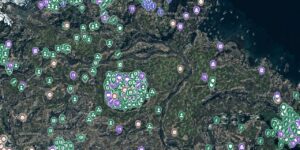
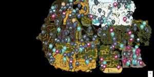
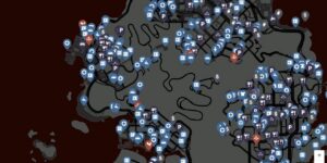
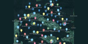
The Road To Vostok Interactive Map filters these location types to help you plan efficient routes between safe zones, resource gathering spots, and key landmarks. Understanding where each location type appears saves valuable time and resources in this unforgiving survival setting.
What Locations Are Used For
Locations provide essential waypoints for survival, navigation, and progression through Road To Vostok’s interconnected zones. They mark critical infrastructure and resources needed to survive the Zone’s dangers.
- Navigate between different map areas through transition points
- Find safe shelter from environmental hazards and hostile forces
- Locate vehicles for faster travel across dangerous terrain
- Access secured areas that require special tools or keys
- Establish supply lines near fishing spots and fire locations
Locations Types
The map categorizes locations into seven distinct types, each serving specific survival and navigation functions within the Zone’s harsh environment.
Landmarks
Major structural or geographical features that serve as visual reference points for navigation. These locations help orient yourself within the Zone and provide memorable waypoints for route planning across the expansive wilderness areas.
Map Transition
Border crossings and passages that connect different zones within Road To Vostok’s world. These critical points determine your movement between major areas and often require preparation due to potential hazards or restrictions at crossing points.
Vehicles
Spawn locations for cars, trucks, and other transportation that dramatically reduce travel time across the Zone. Vehicle condition varies, and fuel availability makes these locations strategically important for planning longer expeditions into dangerous territory.
Locked Structures
Buildings and facilities that require keys, tools, or special access methods to enter. These locations typically contain valuable loot or story elements but demand specific preparation or items to unlock their contents.
Shelter
Safe houses and protected areas where you can rest, store items, and plan your next moves. These locations provide crucial respite from the Zone’s environmental dangers and hostile encounters during extended exploration sessions.
Fishing Spot
Water bodies where you can catch fish for sustenance and trade. These renewable food sources become increasingly valuable during longer expeditions when other supplies run low or become contaminated.
Fire
Established campfire locations where you can cook food, warm up, and craft certain items. These spots provide essential survival functions and often mark safe areas where other survivors have previously established temporary camps.
How to Use the Map Efficiently
Strategic location planning prevents unnecessary backtracking and resource waste in the Zone’s hostile environment.
- Chain shelter locations together when planning long-distance routes to ensure safe overnight stops
- Mark vehicle spawns near map transitions for faster travel between zones
- Identify fishing spots and fire locations near each other for efficient food preparation
- Plan routes that connect multiple locked structures in a single expedition
- Use landmarks as backup navigation when GPS systems fail in high-radiation areas
- Position shelter locations as fallback points when exploring dangerous territories
Locations Locations Table
Reference guide for each location type and their primary functions within the Zone.
| Type | Primary Function | Strategic Value |
|---|---|---|
| Landmarks | Navigation reference | Visual waypoints for orientation |
| Map Transition | Zone connectivity | Access to new areas and regions |
| Vehicles | Fast transportation | Reduced travel time and fuel efficiency |
| Locked Structures | Secured loot access | High-value items behind barriers |
| Shelter | Safe rest areas | Protection from environmental hazards |
| Fishing Spot | Renewable food source | Sustainable nutrition during expeditions |
| Fire | Cooking and warmth | Essential survival functions and crafting |
Tips for Locations Hunting
- Always carry lockpicks and tools when targeting locked structures to avoid wasted trips
- Check vehicle fuel levels and condition before relying on them for long journeys
- Establish supply caches near fishing spots and fire locations for extended stays
- Mark alternative shelter routes in case primary safe houses become compromised
- Use landmarks in combination with compass bearings when electronic navigation fails
- Plan fishing and cooking sessions during safer daylight hours to avoid nocturnal threats
FAQs
Do vehicles respawn at marked locations?
Vehicle spawns are not guaranteed and depend on server settings and other players’ actions. Check multiple vehicle locations if you need transportation urgently.
Can shelters be claimed permanently?
Shelter availability varies by server type and game mode. Some allow base building while others treat shelters as temporary safe zones shared among all players.
What tools are needed for locked structures?
Different locked structures require specific tools like lockpicks, crowbars, keycards, or explosive devices. Check your inventory and plan accordingly before attempting entry.
Are fishing spots affected by radiation levels?
Yes, fish caught in highly contaminated areas may be irradiated. Cook contaminated fish thoroughly or use radiation medicine to reduce health risks from consumption.
Credit: Road To Vostok by Wand